There is a magical moment reserved only for those willing to roll out of bed at 5:00 AM: Watching the nation’s two largest metropolises—Hanoi and Ho Chi Minh City—still stirring in the misty silence. Your rhythmic footsteps on the empty pavement are the only sound, until the first light of dawn breaks, painting the vast water in brilliant gold.
For the running community, sunrise runs aren’t just about building your aerobic base or hitting that weekend long run. It’s a powerful form of “soul healing,” a local run-cation that washes away work stress, restores your energy, and helps you sync your breathing with the city itself.
If you’re looking for the best spots to “hunt the sunrise” on foot, let Thich Chay Bo guide you through the top 5 breathtaking sunrise running routes in Hanoi and HCMC, complete with practical advice on early morning parking, hydration stops, and road safety.
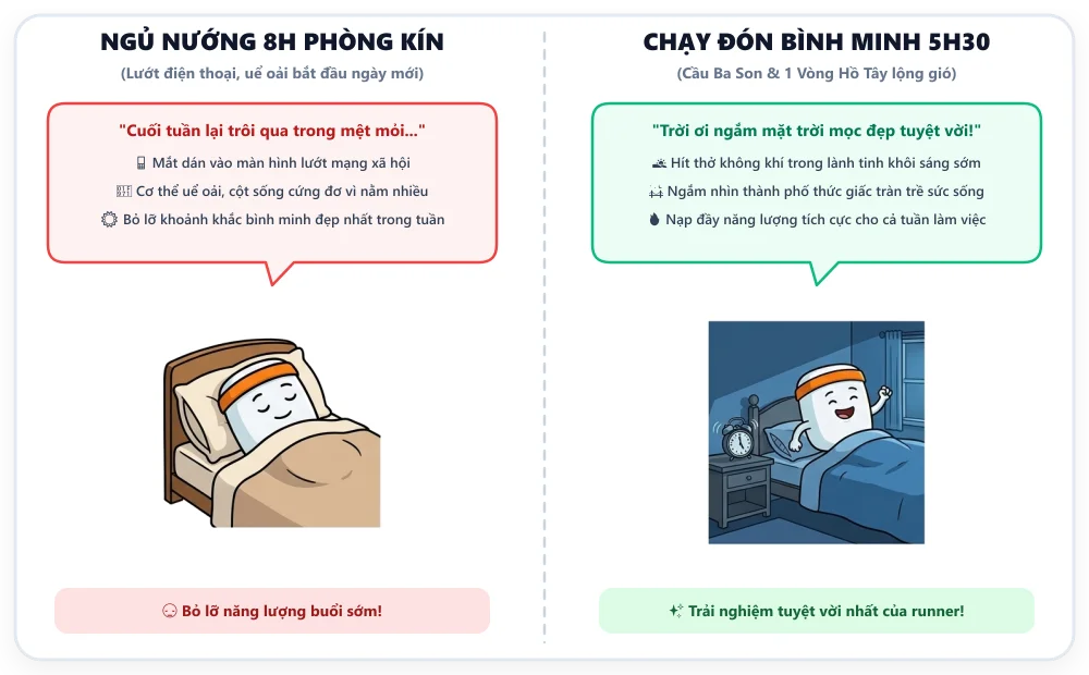
PART 1: HANOI – 2 POETIC SUNRISE ROUTES WITH HISTORIC CHARM
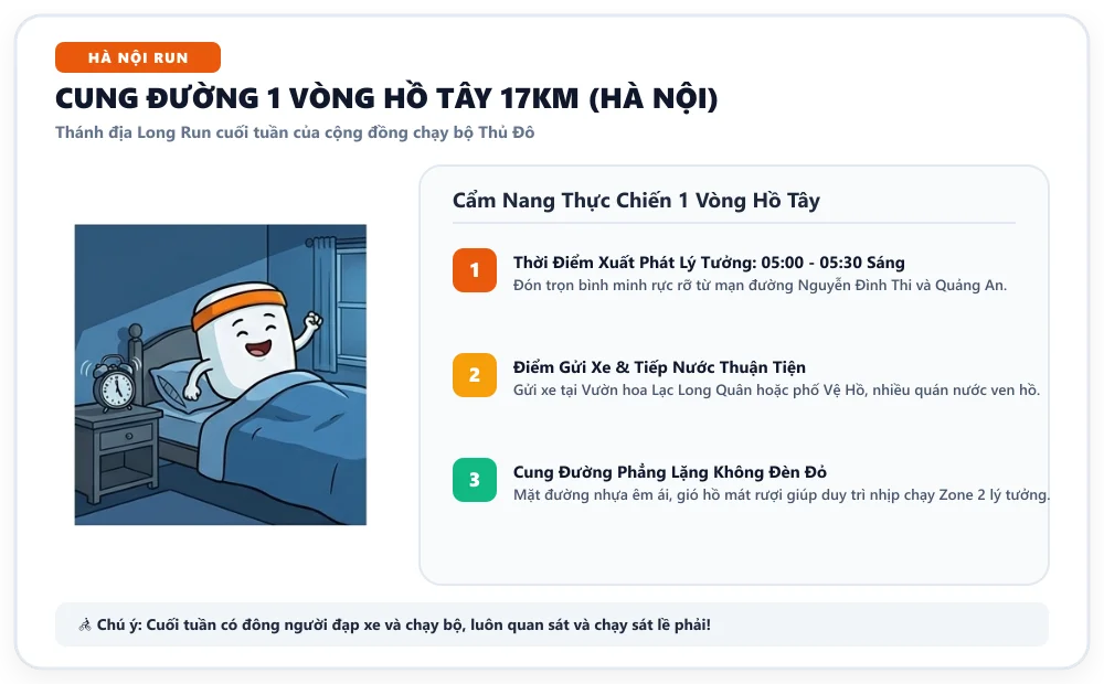 A 17km loop around West Lake, smelling of lotus flowers under a golden sunrise.
🌊 Route 1: The Legendary West Lake Loop (~15 – 17 km)
- Standard distance: ~15.5 km (hugging the lakeshore) to ~17 km (following main roads).
- Difficulty: Moderate (Ideal for weekend LSD - Long Slow Distance).
- Best start time: 5:00 – 5:15 AM.
                    [ Quang Ba / Phu Tay Ho ]
                           ▲          │
            (Nhat Chieu)   │          │  (Tu Hoa / Yen Phu)
                   ┌───────┴──────────┴───────┐
                   │                          │
   [ Trich Sai ]  │         WEST LAKE         │  [ Thanh Nien St ] ───► Sunrise
                   │      (~15 - 17 km)       │                         Viewing Point
                   └───────┬──────────┬───────┘
                           │          │
                     (Nguyen Dinh Thi) │
                           ▼          ▼
                       [ Ly Tu Trong Park / Thuy Khue ]
The Experience
West Lake is the “mecca” for Hanoi runners. A full loop reveals a breathtaking natural landscape:
- Thanh Nien & Nguyen Dinh Thi: This is the prime sunrise spot. Running along Thanh Nien—the green ribbon separating West Lake and Truc Bach Lake—you’ll see the sun rise like a giant yolk from the east, piercing through the trees and casting a silver glow over the shimmering water.
- Quang Ba – Tu Hoa – Phu Tay Ho: A zen-like atmosphere with the ancient Tran Quoc Pagoda silhouetted against the morning mist. In summer, the faint scent of lotus flowers carried on the breeze will wash away fatigue in those final kilometers.
[!TIP] Post-Run Culture: After completing a West Lake loop, treat yourself to a bowl of steaming chicken pho with lemon leaves on Thuy Khue or Van Cao, or grab some refreshing cold snail vermicelli (bun oc nguoi) near Phu Tay Ho. Don’t forget to stop at a sidewalk café on Nguyen Dinh Thi for an iced jasmine tea or a coconut coffee, watching the locals practice Tai Chi by the lake.
🏛️ Route 2: Old Quarter Heritage & Long Bien Bridge (~10 – 12 km)
- Standard distance: 10 – 12 km.
- Difficulty: Easy to Moderate (mild incline on Long Bien Bridge).
- Best start time: 4:45 – 5:00 AM.
   [ Hoan Kiem Lake ] ───► [ Hang Dao / Dong Xuan ] ───► [ Long Bien Bridge ]
         ▲                                                    │ (Sunrise view
         │                                                    │  over Red River)
         └─────── [ Ma May / Ta Hien ] ◄─── [ Long Bien Market ] ◄┘
A Historic Breath
While West Lake offers nature, this route takes you through the city’s thousand-year-old heart:
- Warm-up around Hoan Kiem Lake: At 4:45 AM, the square and ancient Tortoise Tower are eerily quiet, save for the sound of street sweepers.
- Through the 36 Streets: Dash through Hang Dao and Dong Xuan Market while the streets are still bathed in morning fog; the ancient signs and mossy roofs offer a profound sense of peace.
- Conquer historic Long Bien Bridge: Crossing this century-old steel structure is iconic. Running on the pedestrian path, you’ll witness the sun rising over the banana plantations of the Red River silt flats. The wind off the river and the rumble of the early morning train on the tracks is a one-of-a-kind experience.
- Finish through Long Bien Market: Witness the bustling, colorful trade of fresh produce before cooling down through the quiet streets of Ta Hien and Hang Buom.
[!WARNING] Road Surface: The pedestrian path on Long Bien Bridge features concrete slabs and old steel frames with uneven expansion joints. Keep your focus on your footwork, maintain a steady cadence of 175–180 spm, and avoid staring at your watch while navigating the gaps.
PART 2: HCMC – 3 MODERN, SPACIOUS, AND ENERGETIC SUNRISE ROUTES
 A breeze from the Saigon River and views of Landmark 81.
🏙️ Route 3: Sala Urban Area & Mai Chi Tho – Thu Thiem (~10 – 21 km)
- Standard distance: 10 – 21 km (easily adjustable loops).
- Difficulty: Easy (perfectly flat, 5–7m wide sidewalks).
- Best start time: 5:00 – 5:15 AM.
                    [ Mai Chi Tho Blvd ]
                   ▲                      │
                   │                      │
   [ Ca Tre Bridge ] ├──────────────────────┤ [ Nguyen Co Thach St ]
   (Sunrise view)   │                      │
                   │    SALA LOOP         │
                   │     (10 - 21 km)     │
                   └──────────────────────┘
                   ▲                      │
                   │                      │
                   [ Hoang The Thien St / Sala Park ]
The #1 Long Run “Cathedral” for Saigonese Runners
Considered the “runner’s mecca” of HCMC, the Sala Urban Area (Thu Thiem) offers some of the best infrastructure in Southeast Asia for long runs:
- Perfect Infrastructure: Perfectly flat granite sidewalks, wide streets with no blind alleys, and virtually no traffic lights if you loop the Hoang The Thien – Nguyen Co Thach – Mai Chi Tho axis.
- Spectacular Sunrise: The Ca Tre bridges on Mai Chi Tho face the Cat Lai port and the Saigon River. As the sun rises, rays pierce through the palm trees and reflect off the glass facades of Sala’s skyscrapers, creating an incredibly vibrant scene.
[!NOTE] This is the perfect route for a Tempo Run or building mileage for a Marathon plan (Jack Daniels’ VDOT or Hanson Method) due to the absolute flat terrain and convenient water access.
🌉 Route 4: Bach Dang Wharf – Ba Son Bridge – Riverside Park (~8 – 12 km)
- Standard distance: 8 – 12 km.
- Difficulty: Easy to Moderate (climbing Ba Son Bridge).
Architectural Masterpiece by the River
This route connects the historic heart of District 1 with the modern Thu Thiem peninsula, offering the most expensive panoramic views in Saigon:
- Depart from Bach Dang Wharf: Run along the breezy riverside park, watching the first Waterbuses pull in.
- Conquer Ba Son Bridge (Thu Thiem 2): A stunning cable-stayed bridge. At 5:35 – 5:45 AM, you’ll enjoy a magnificent skyline view: Landmark 81 in the north and the iconic Bitexco in the southwest, both reflecting on the golden-glistening water.
- Descend into the Riverside Park: A brand-new walking path lined with sunflowers and green grass, looking back at the magnificent District 1 in the morning sun.
🌳 Route 5: Phu My Hung & Starlight Bridge (District 7) (~10 – 15 km)
- Standard distance: 10 – 15 km.
- Difficulty: Easy (park terrain, soft on the legs, very safe).
- Best start time: 5:00 – 5:30 AM.
South Saigon’s Ecological Green Space
If you want to escape the smog and traffic to enjoy a fresh morning, Phu My Hung is the #1 choice:
- Through the Trees: The path winds around Crescent Lake, over the iconic Starlight Bridge, and along Ton Dat Tien Avenue and the Panorama riverside park.
- Quiet & Secure: Sunrises over Crescent Lake and the marina feel like a resort getaway in Singapore. With 24/7 security, you can run in the pre-dawn darkness with complete peace of mind.
QUICK REFERENCE TABLE & PRO TIPS
| Criteria | 1. West Lake (Hanoi) | 2. Long Bien/Old Quarter (HN) | 3. Sala Thu Thiem (HCMC) | 4. Bach Dang/Ba Son (HCMC) | 5. Phu My Hung (HCMC) |
|---|---|---|---|---|---|
| Rec. Distance | 15 – 17 km | 10 – 12 km | 10 – 21 km | 8 – 12 km | 10 – 15 km |
| Safety | ⭐⭐⭐⭐ | ⭐⭐⭐ | ⭐⭐⭐⭐⭐ | ⭐⭐⭐⭐⭐ | ⭐⭐⭐⭐⭐ |
| Surface | Lakeside asphalt + stone | Old town street + Bridge deck | Flat asphalt + Granite | Riverside stone + Bridge deck | Internal road + Park trail |
| Sunrise Spot | Thanh Nien Rd | Long Bien Bridge | Ca Tre Bridge | Ba Son Bridge | Starlight Bridge |
4 “GOLDEN RULES” FOR EARLY MORNING RUN SAFETY
Running between 4:30 AM and 5:30 AM is tranquil, but low light poses risks. Keep these 4 rules in mind:
- Visibility First: Always wear gear with 3M reflective detailing and use a headlamp or a clip-on LED light so drivers can see you from 100m away.
- Run Against Traffic: On roads without separate sidewalks, stay on the left side of the road so you can see oncoming vehicles and react in time.
- Handle Loose Dogs: If approached by a dog, do not turn your back, run, or scream. Walk slowly, avoid direct eye contact, and speak firmly in a low, calm voice to back away.
- Hydration in Humidity: Vietnam’s humidity often hits 85–95%, which prevents sweat from evaporating effectively. Drink 200–300ml of water with electrolytes (sodium/potassium) 15 minutes before your run, and take small sips every 20–25 minutes.
SUPPORT TOOLS FOR THE THICH CHAY BO RUNNER
- 🗺️ Explore 100+ Routes: Visit our Running Route Map to download GPX files and read community reviews.
- ⏱️ Pace & Time Calculator: Use our Pace Calculator to time your departure so you arrive at the bridge just as the sun breaks the horizon.
- 🧬 Running DNA: Are you a Scenic Cruiser or a PB Hunter? Take our Running DNA Quiz for personalized nutrition and training advice!
FINAL THOUGHTS
Every morning is a new beginning. The sunrise over the river or lake is never the same twice. Leaving the house at 5:00 AM requires discipline, but the moment the sun hits your face, your heart rate settles, and the city awakens, you’ll find it’s the ultimate gift for your health and mind.
Which route are you choosing this weekend? Grab your running buddies and hit the road!
